 cropped")
Accomplishments: Trail Work & More
Accomplishments over our 25 Years….
Gila BCH is celebrating 25 years!
From our earliest days as a small, grassroots group, we’ve helped change the landscape of the Gila—literally and figuratively.
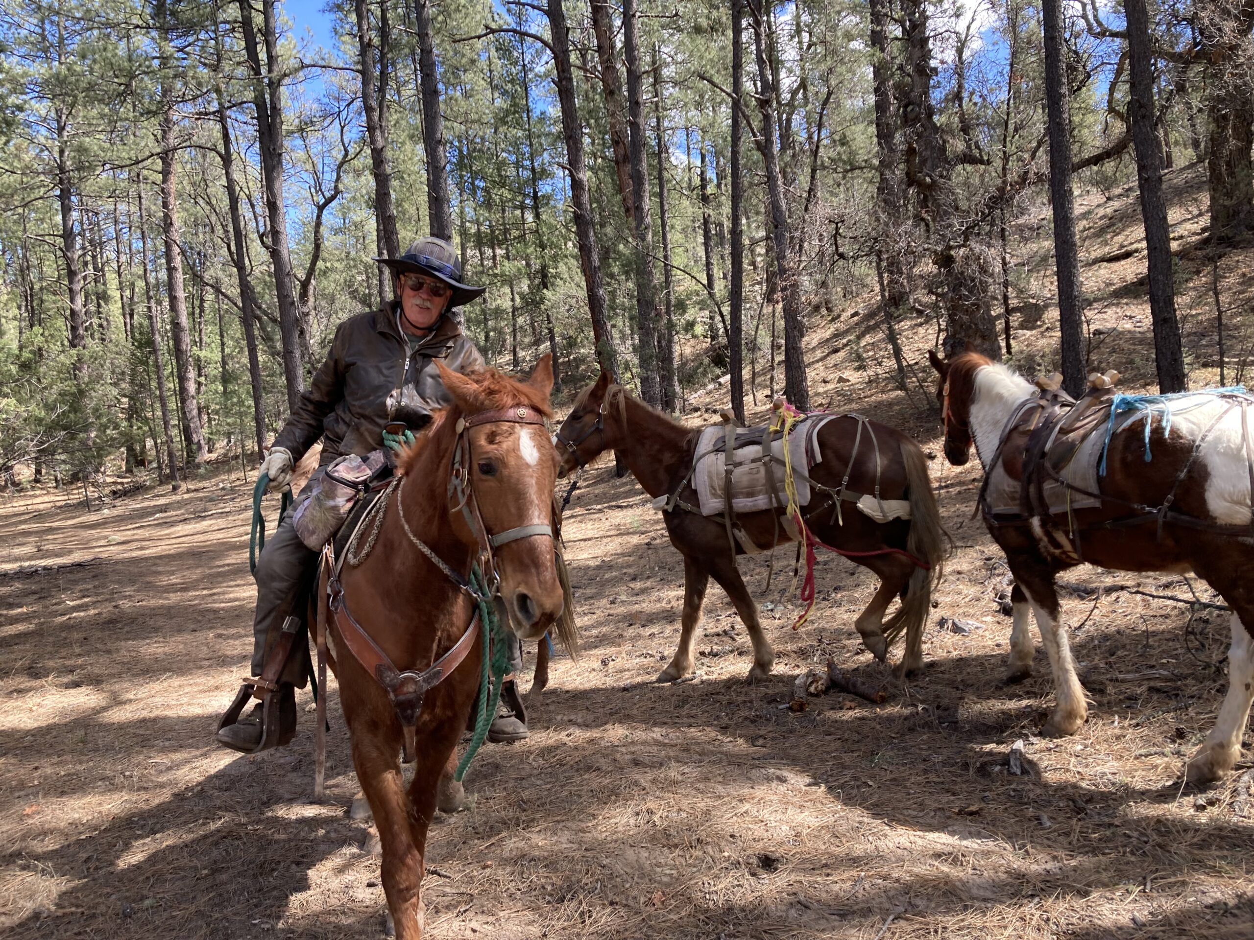
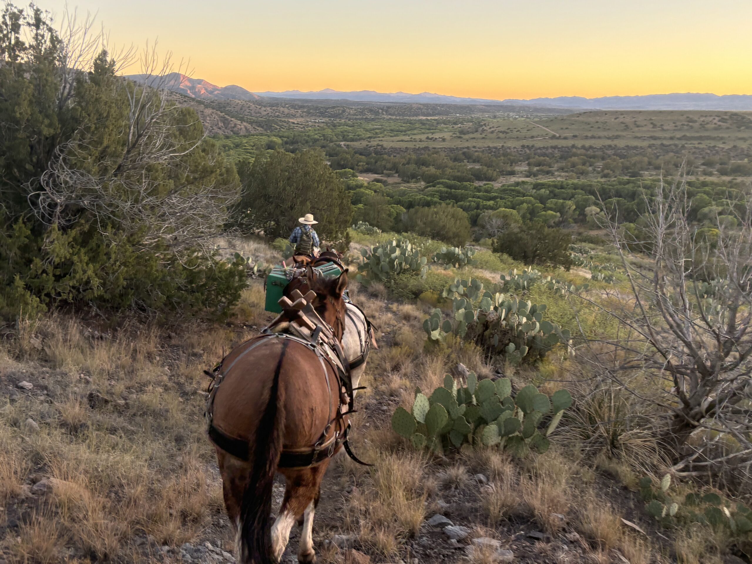
Over the past 25 years, we’ve cleared more than 1,800 miles of trail through both deferred and routine maintenance, improved two trailheads, and produced and shared updated trail information to help the public explore the Gila safely and responsibly. This work represents 42,735 volunteer hours, valued at $1,847,793 in in-kind contributions (including volunteer time, mileage, and equine use). In addition, we’ve put more than $614,000 in grants and private donations to work on the ground where it matters most.
Learn More
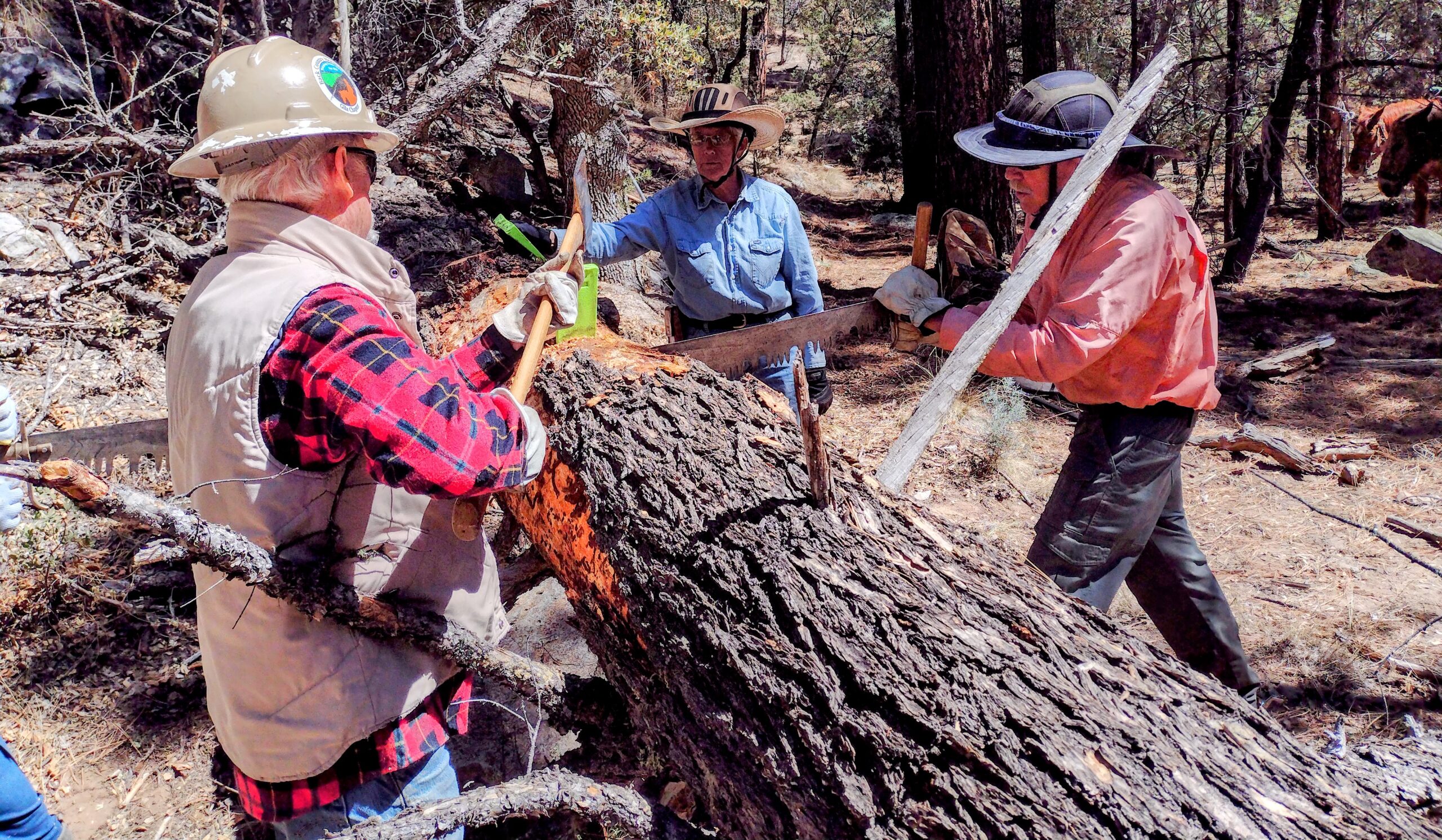
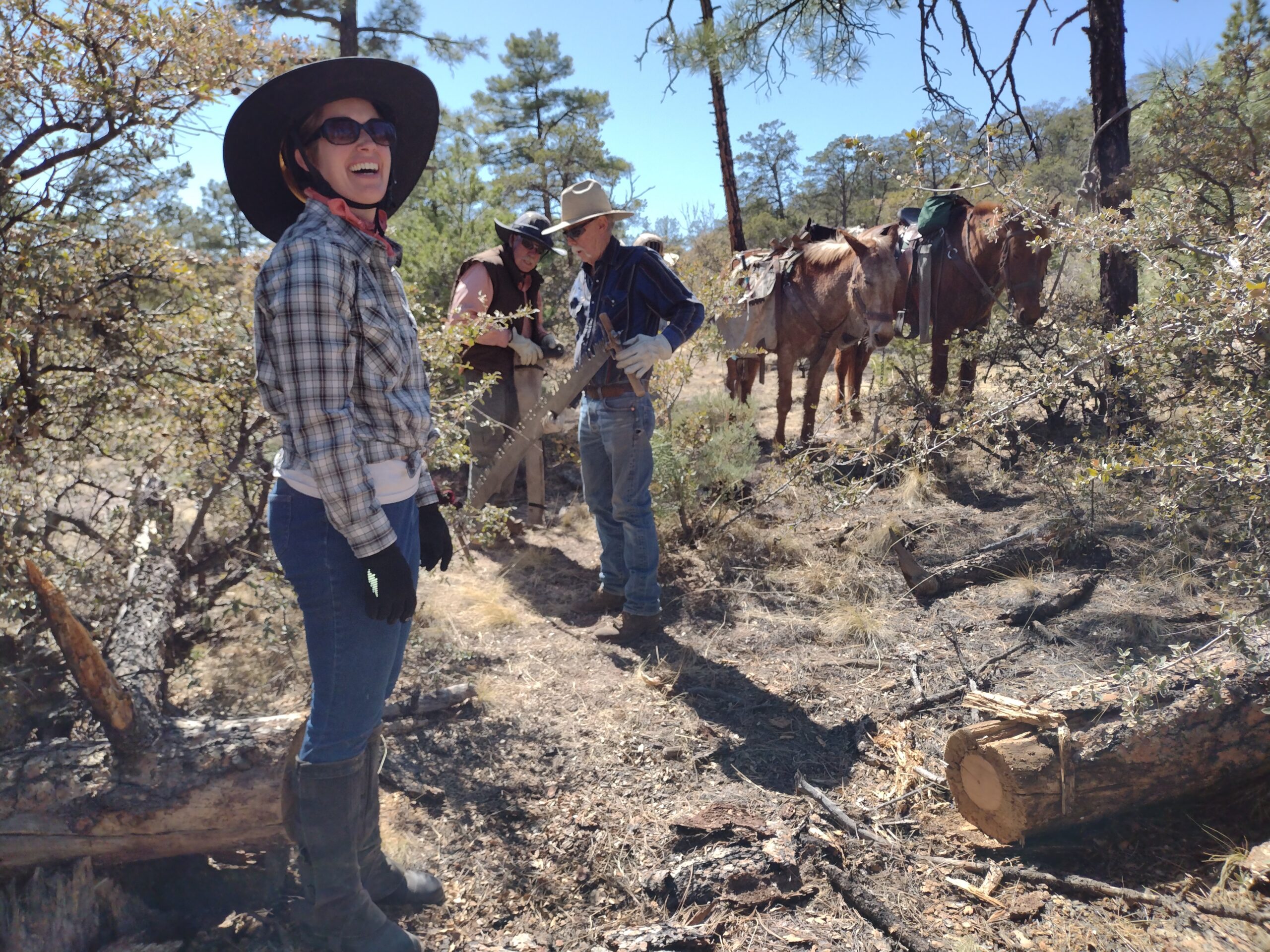
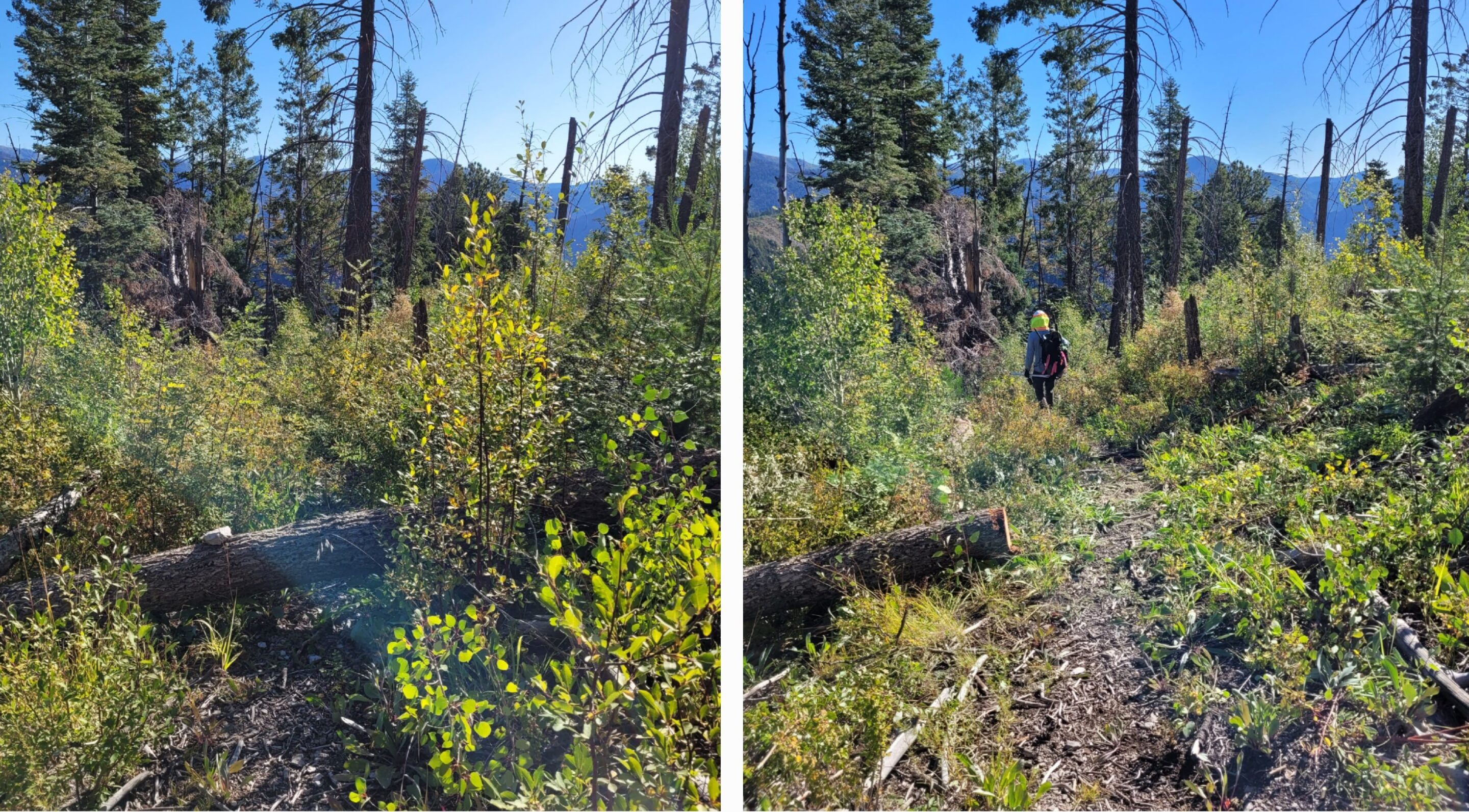
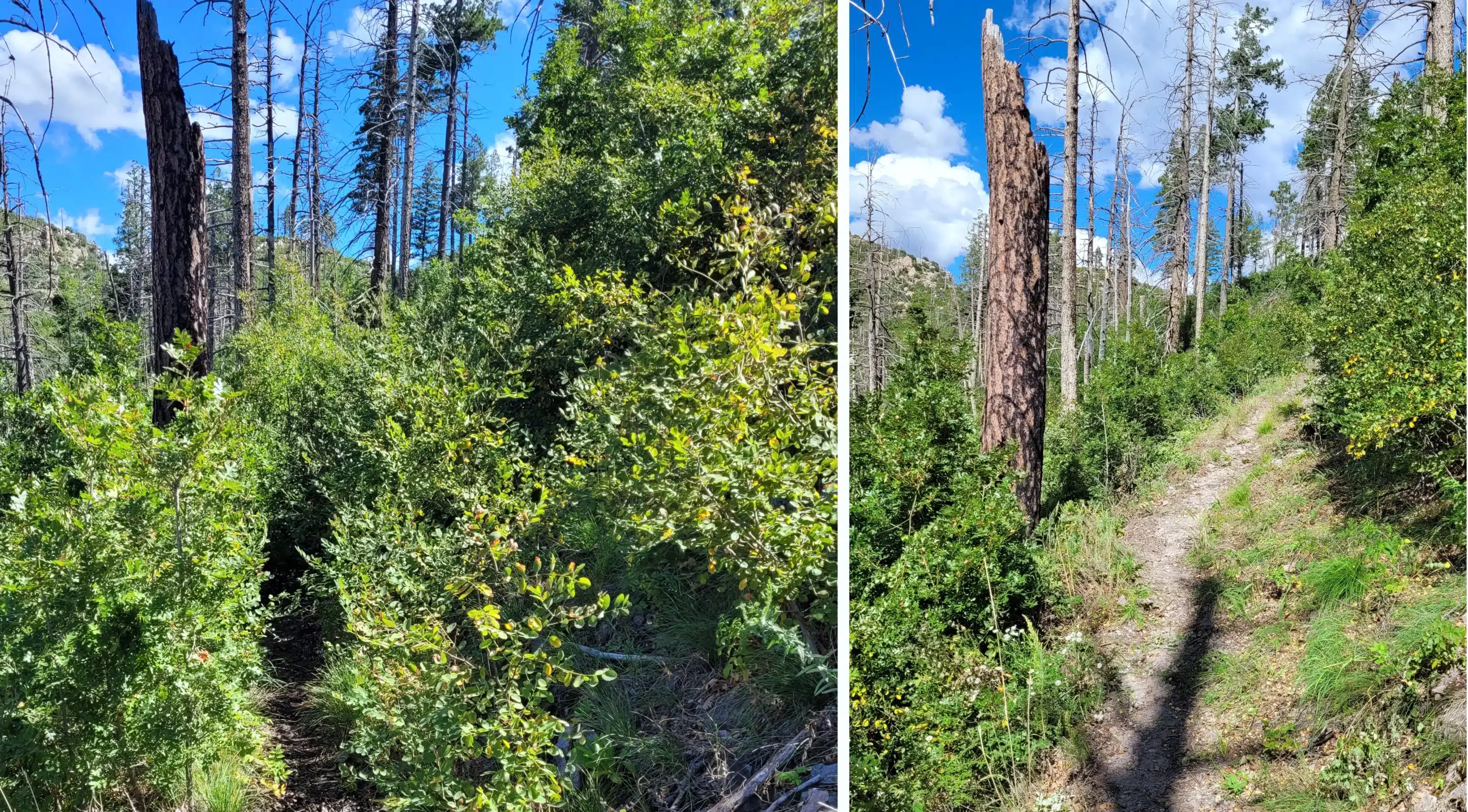
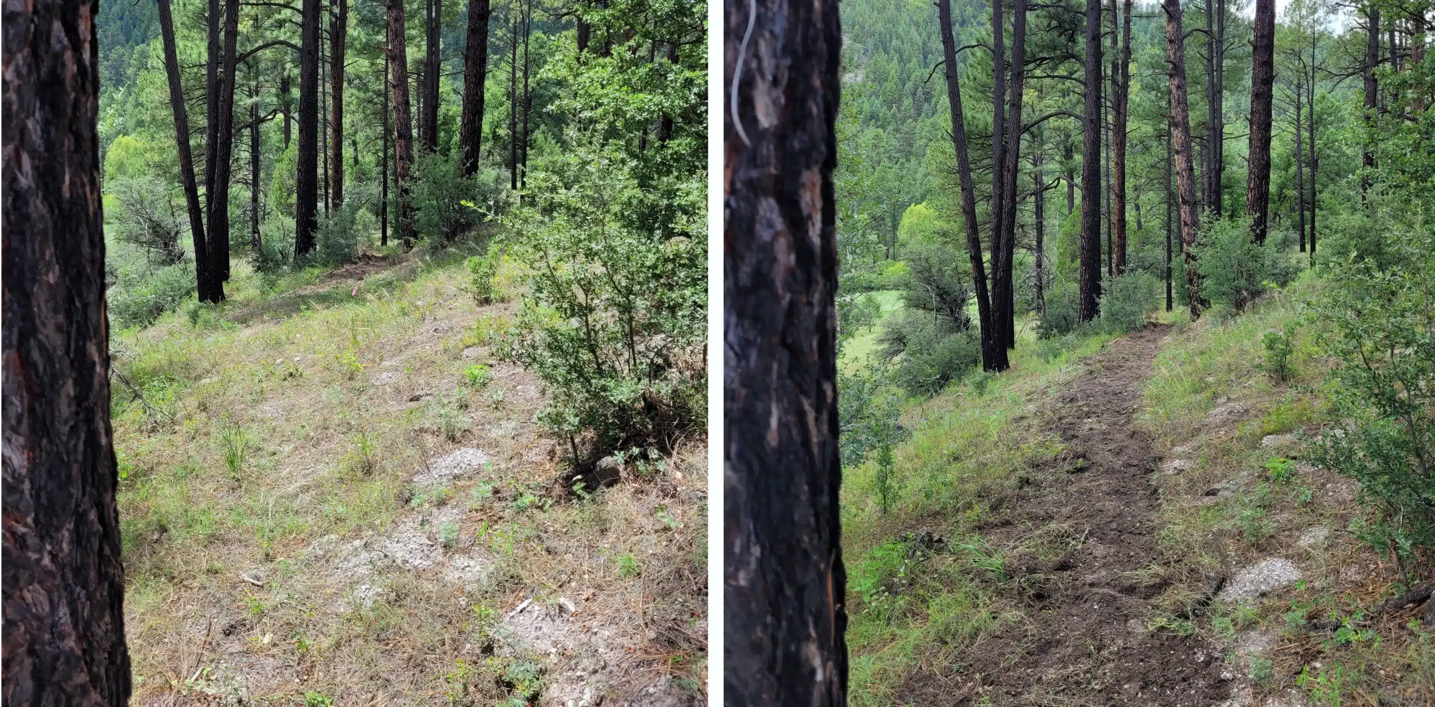
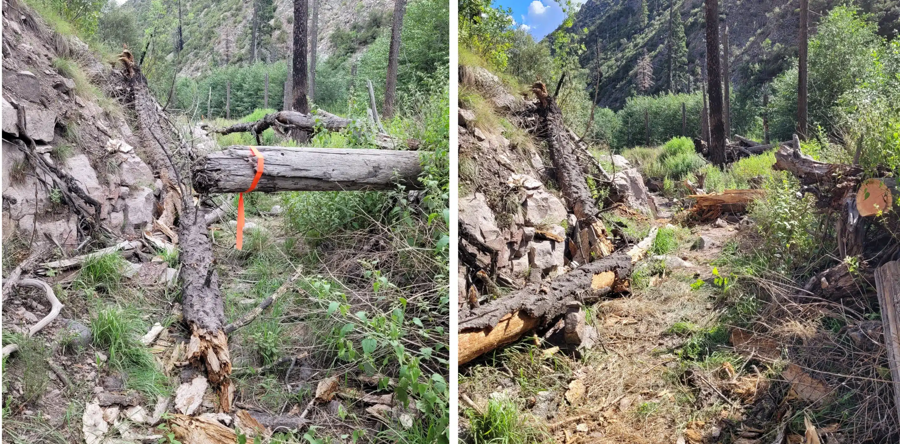
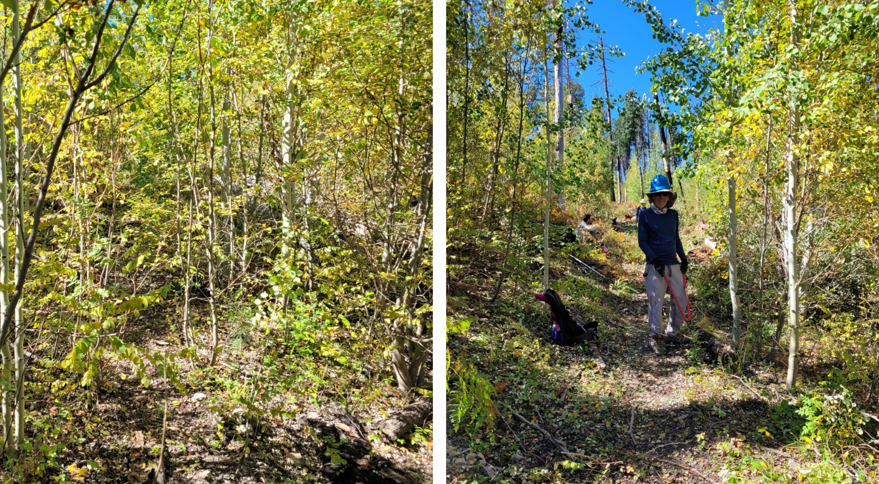
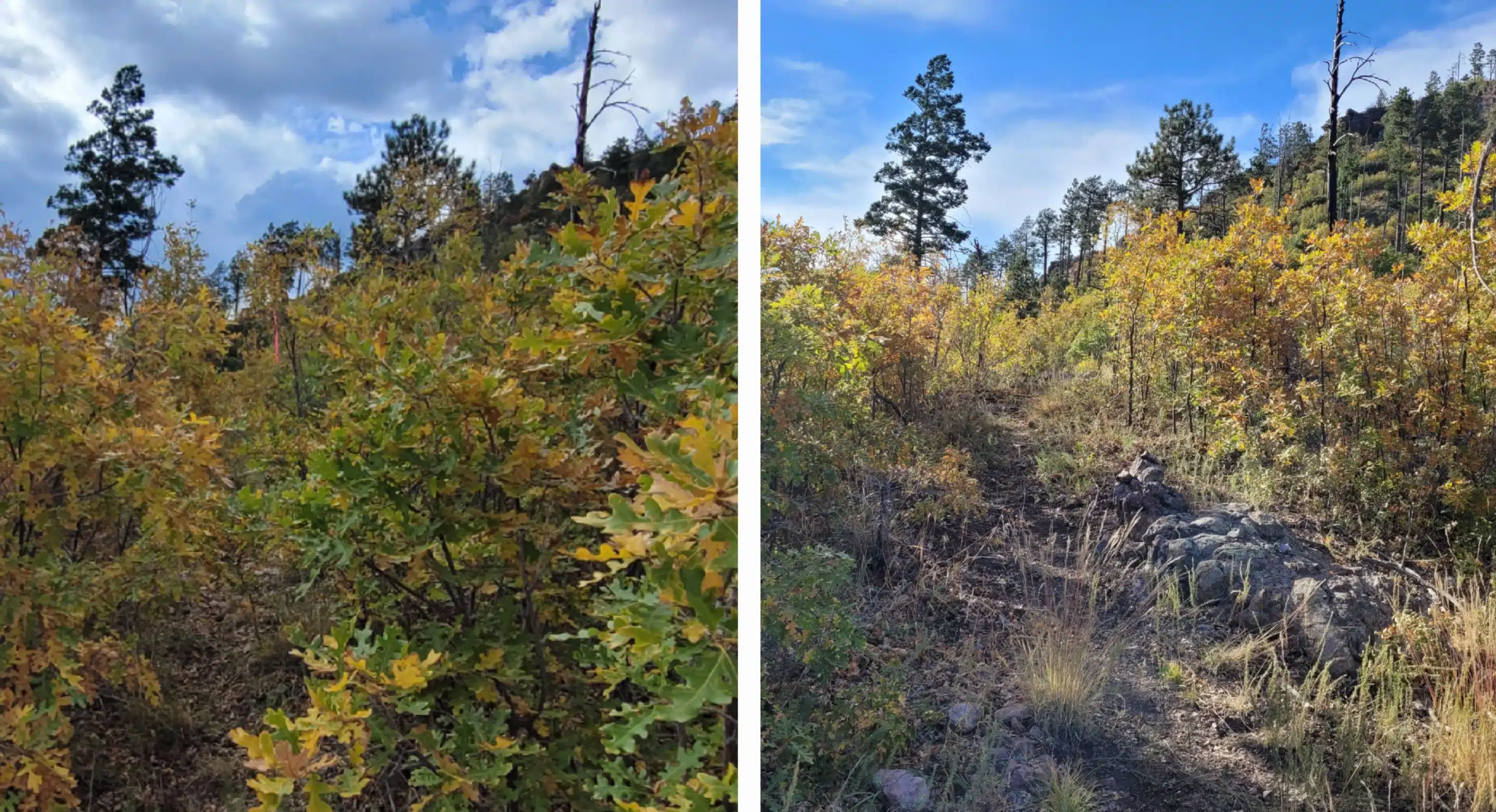
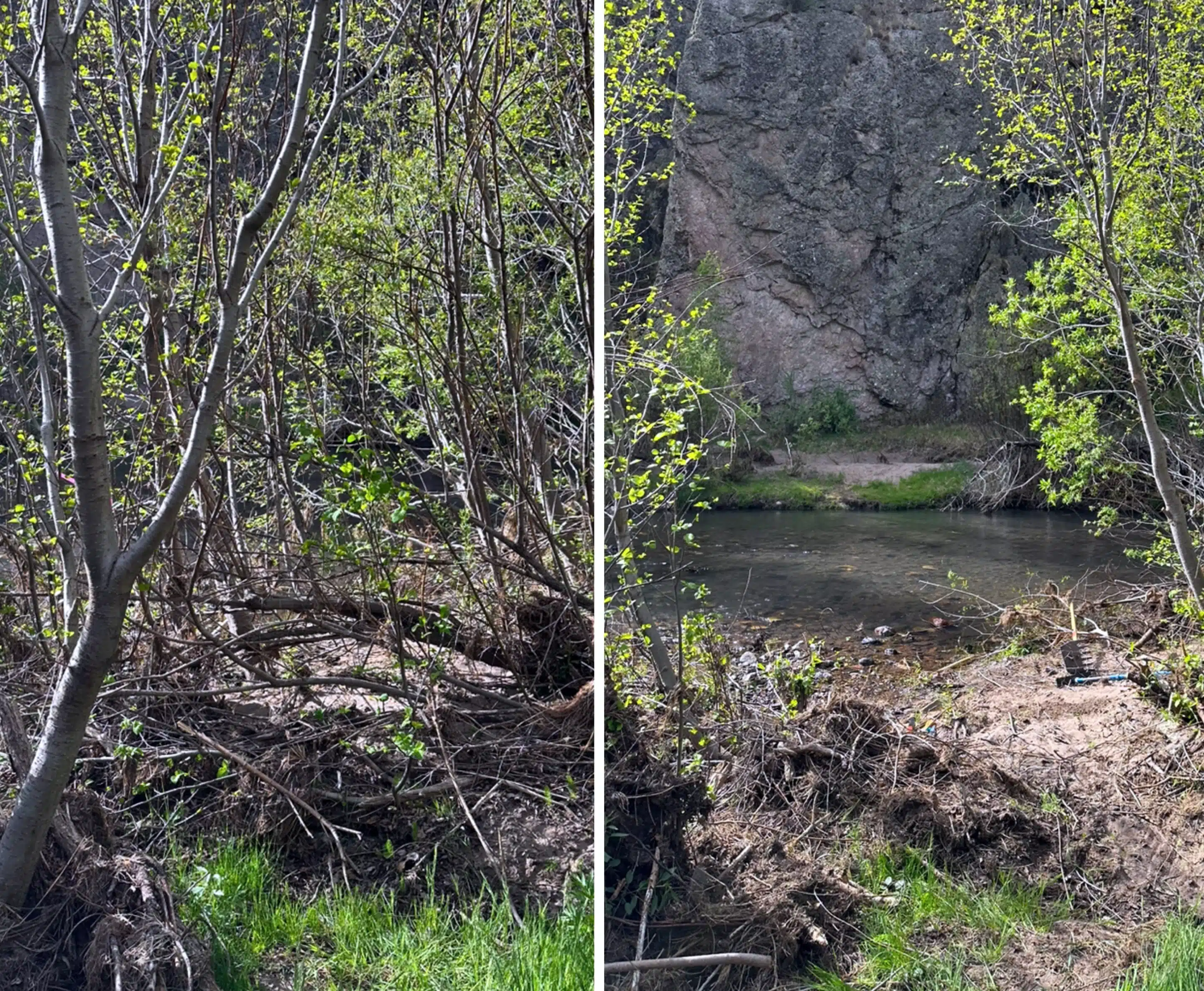
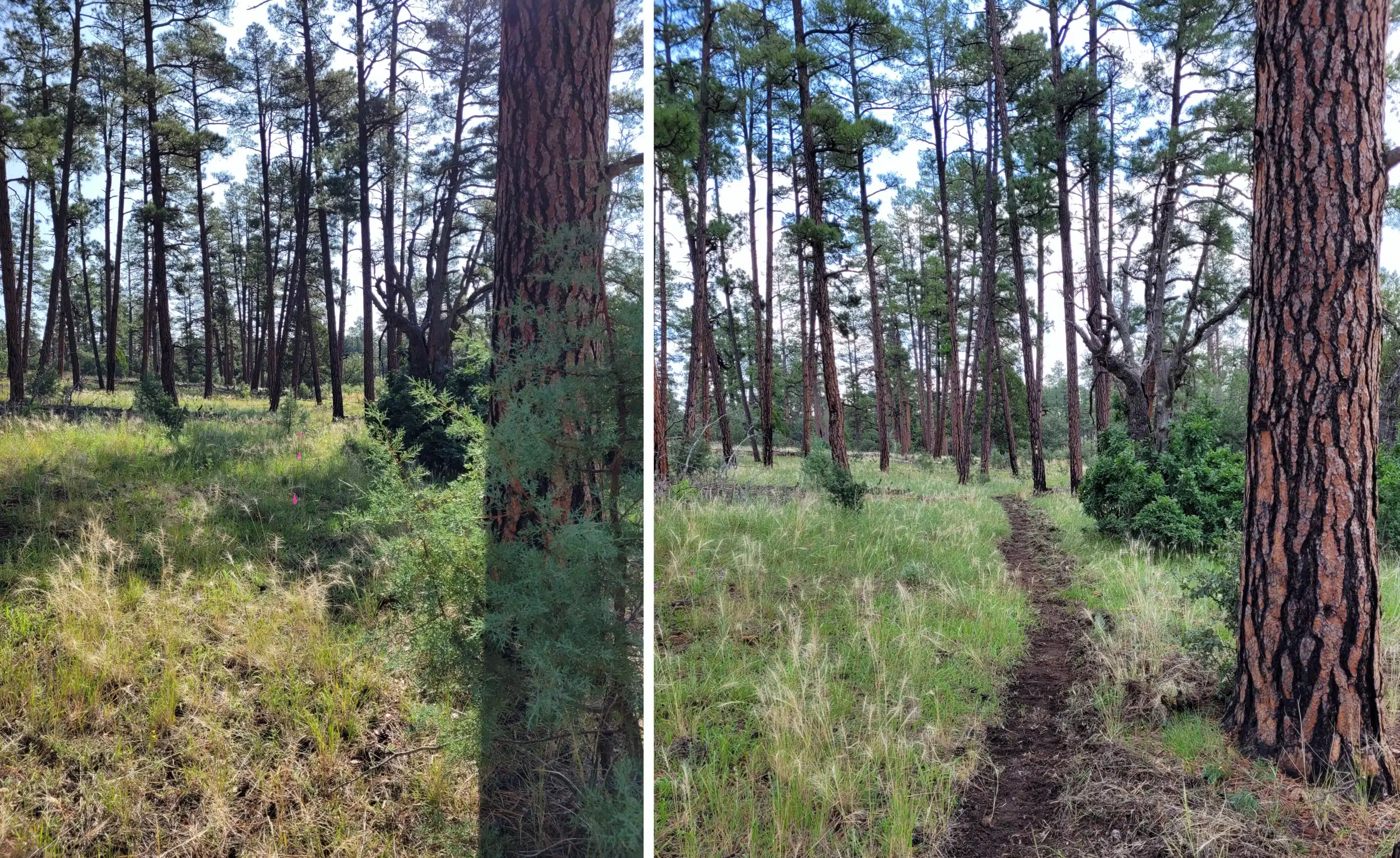
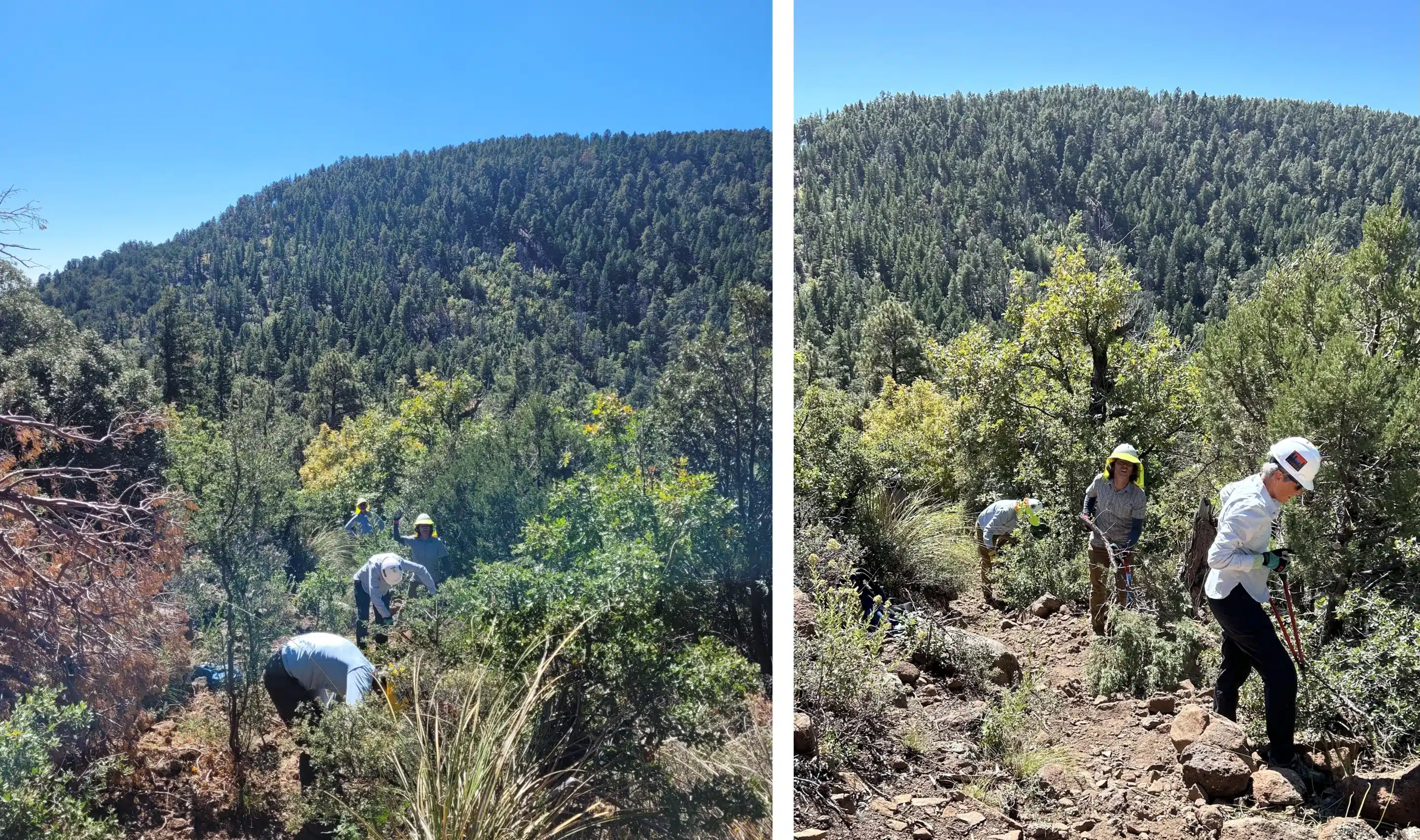
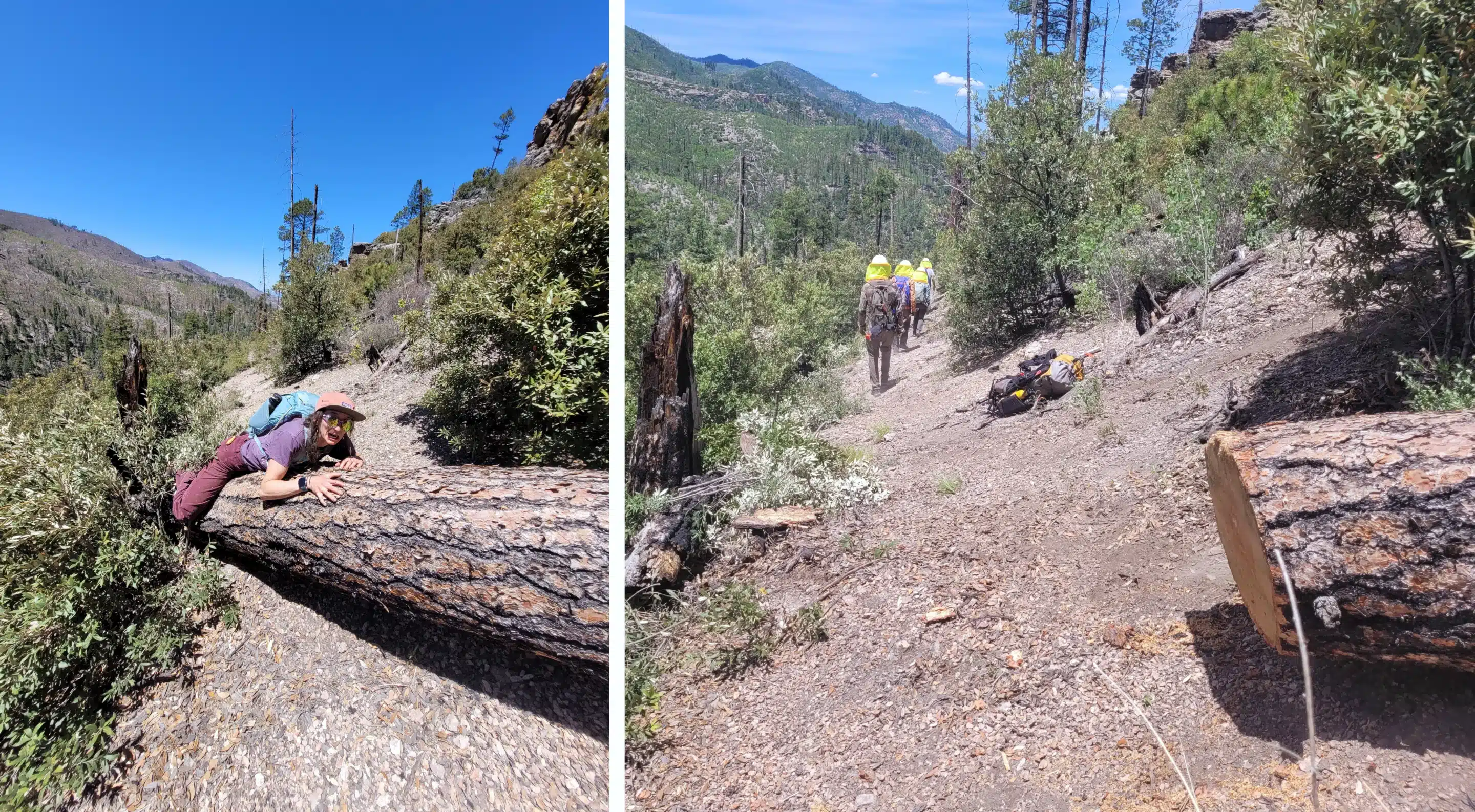
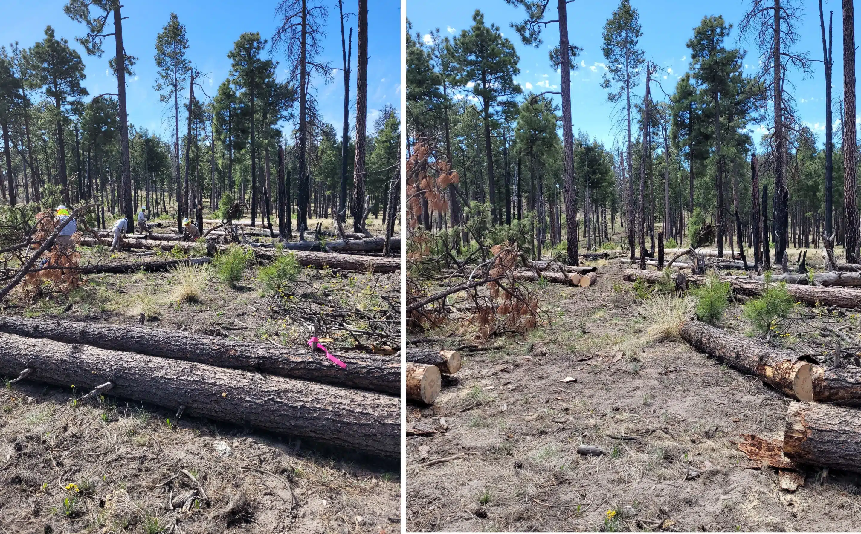
Our crews have removed more than 8,500 logs—mostly using crosscut and hand saws—along with countless hours of brushing, cairn building, and tread repair. And we don’t just reopen trails and move on: we return to maintain the routes we’ve restored so they stay passable year after year.
We’ve also invested in people. Gila BCH has led multiple crosscut and chainsaw certification trainings and facilitated Wilderness First Aid and First Aid trainings in partnership with the Forest Service—building skills that strengthen not only our crews, but the broader stewardship community.
We’re grateful for the solid foundation built over the last 25 years and for the many dedicated volunteers, partners, and supporters who made it possible. As volunteer organizations have become an essential part of maintaining and protecting public lands, Gila BCH has grown its capacity to meet the need. By bringing in paid contractors, we’ve been able to expand what we can accomplish—adding 15,000 contractor hours to support and accelerate this work.
A quote from one of our partners: “Gila BCH is such a force for good around here, …. and is the reason why our wilderness trails haven’t been wiped off the map over the last twenty years.”
We’re excited for what comes next. The next 25 years start now—and volunteers remain the key to our success.
Join us!
“Never doubt that a small group of thoughtful, committed citizens can change the world; indeed, it’s the only thing that ever has” ~ Margaret Mead.
Detailed Accomplishments 2026 – 2023

2026
- Volunteer hours: 3230
- # of logs removed: 747
- Miles of Deferred Maintenance: 35.5
- Miles of Regular Maintenance: 103.5
- Meals Made for trail projects: 473
& other trail work such as trail markers, tread work, sign making and installation, and brushing

2025
- Volunteer hours: 4145
- # of logs removed: 1298
- Miles of Deferred Maintenance: 74
- Miles of Regular Maintenance: 96
- Meals Made for trail projects: 514
& other trail work such as trail markers, tread work, sign making and installation, and brushing

2024
- Volunteer hours: 6277
- # of logs removed: 1288
- Miles of Deferred Maintenance: 56.5
- Miles of Regular Maintenance: 113
- Meals Made for trail projects: 1006
& other trail work such as trail markers, tread work, sign making and installation, and brushing

2023
- Volunteer hours: 6339
- # of logs removed: 1795
- Miles of Deferred Maintenance: 60
- Miles of Regular Maintenance: 126
- Meals Made for trail projects: 685
- & other trail work such as trail markers, tread work, sign making and installation, and brushing.
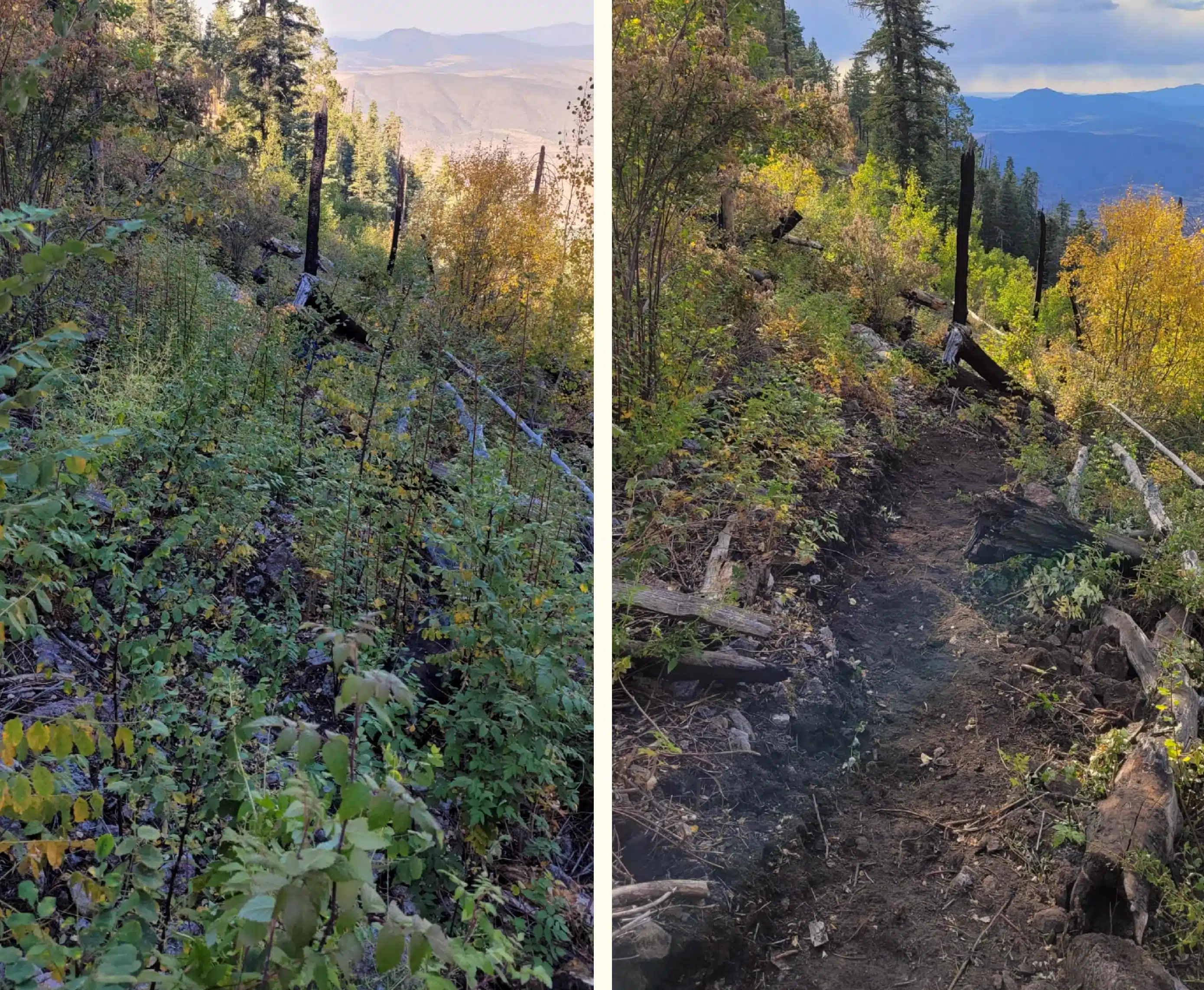
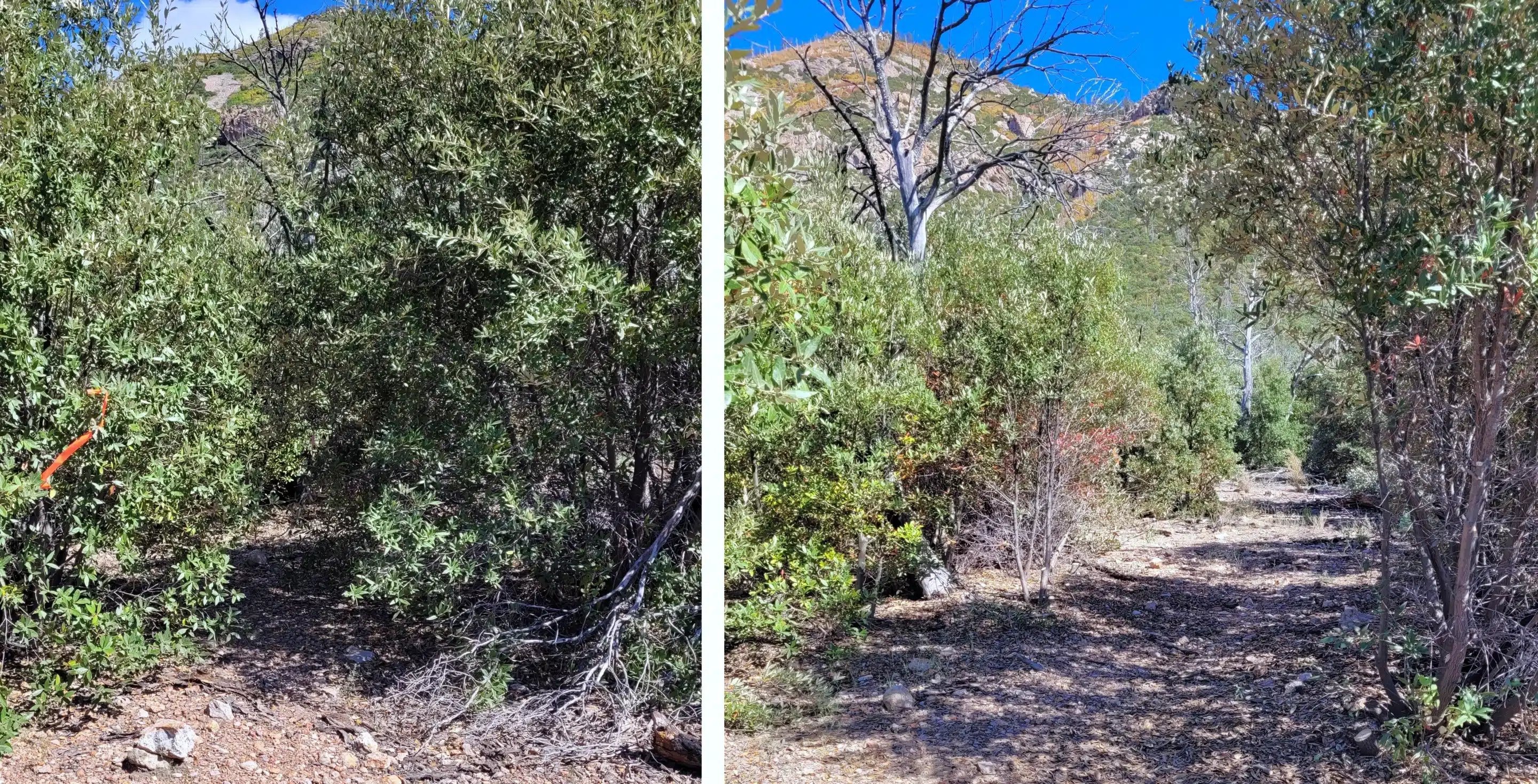
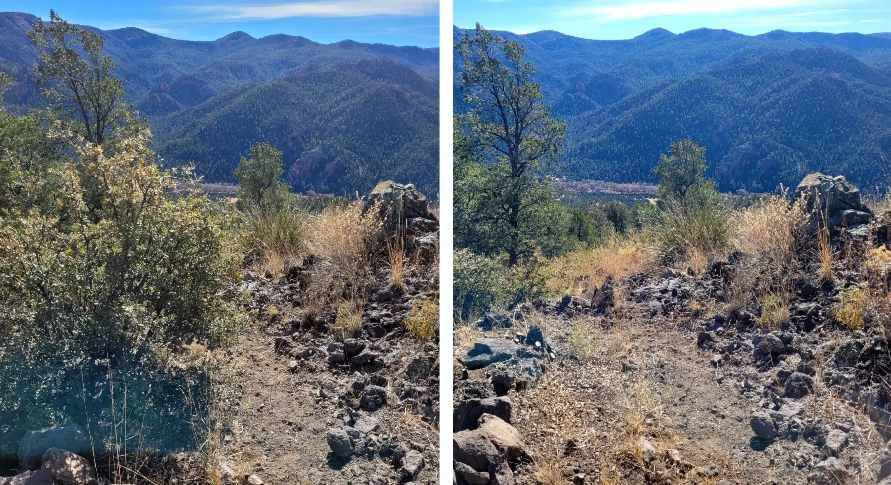
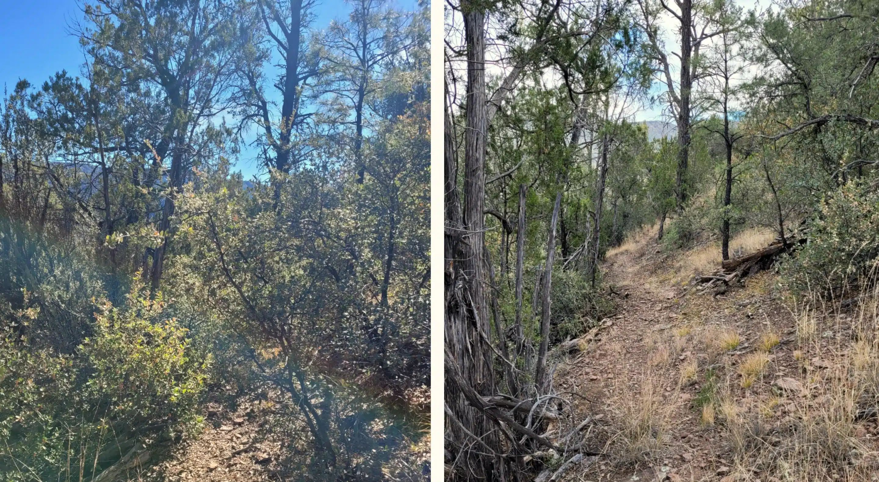
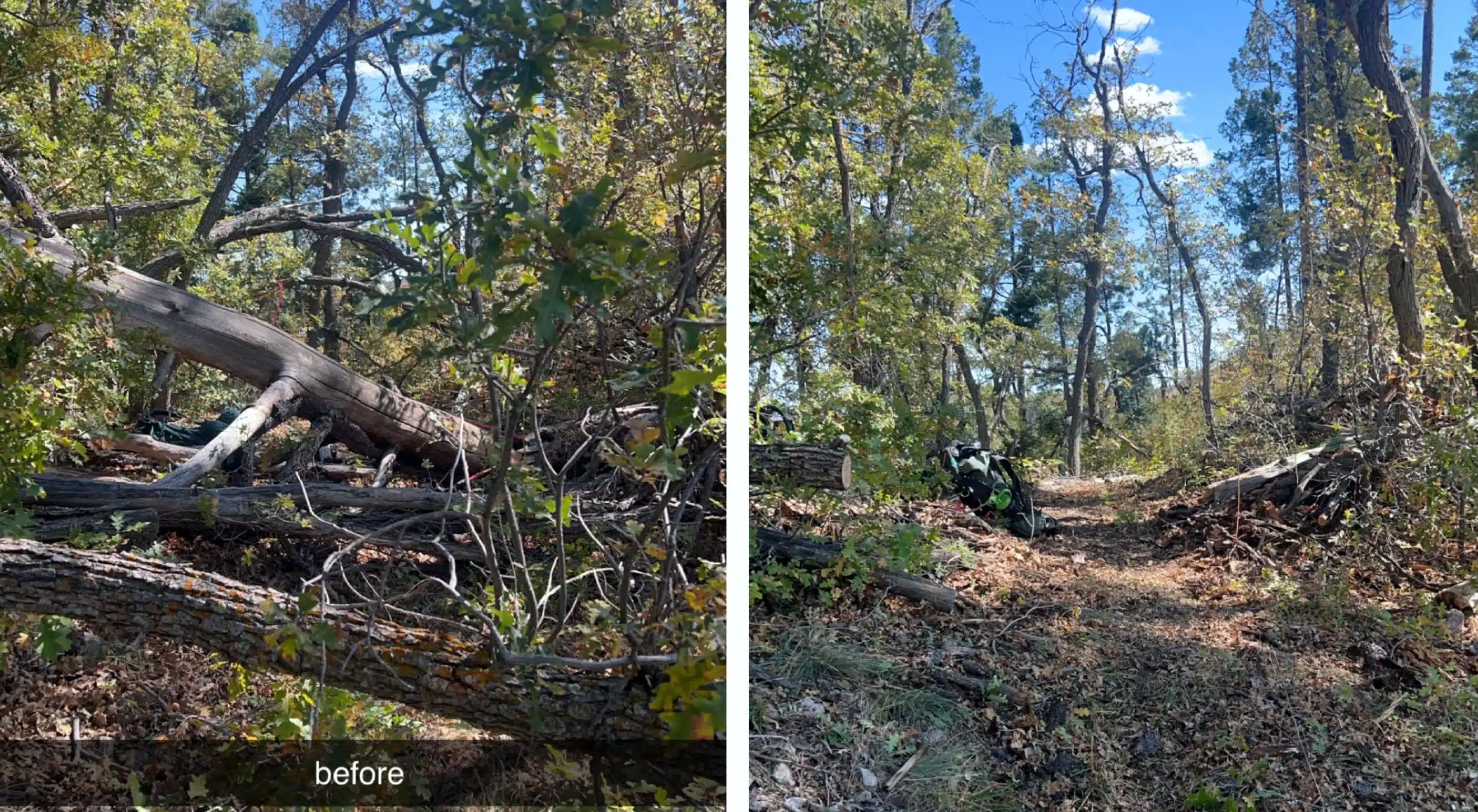
Before & After
b1
Thanks to our Trail Partners:
